Log in
All resources
Create a design
33,222 Free Images of Elevation Map
atlas map
maps of paris from the david rumsey historical map collection
maps of paris from bibliothèque nationale de france
bibliothèque nationale de france
turgot map of paris, bibliothèque nationale de france
david rumsey historical map collection
atlas des anciens plans de paris by imprimerie nationale, 1900 from the david rumsey historical map collection
atlas du canton de paris, 1795
composite map
maps
india
maps
petit atlas pittoresque des 48 quartiers de la ville de paris, david rumsey historical map collection
maps of paris from the david rumsey historical map collection
fra mauro map details
1450s maps of europe
fragments of shubert's maps
lopukhinsky garden
maps of paris from the barry lawrence ruderman antique maps inc.
key sheet of the turgot map of paris
the elevation of the magdalene or of st. mary of egypt by the master of messkirch (minneapolis institute of art)
tempera on panel
medieval history of near east
geography of near east
maps of paris from the david rumsey historical map collection
baroque
maps of paris from the david rumsey historical map collection
baroque
atlas des anciens plans de paris by imprimerie nationale, 1900 from the david rumsey historical map collection
maps of paris from the david rumsey historical map collection
atlas des anciens plans de paris by imprimerie nationale, 1900 from the david rumsey historical map collection
maps of paris from the david rumsey historical map collection
turgot map of paris, norman b. leventhal map center – derivative files
rue de braque on maps
woodcuts in the rijksmuseum amsterdam
german renaissance
the elevation of the great elector into olympus (van loo)
painted ceilings in germany
atlas des anciens plans de paris by imprimerie nationale, 1900 from the david rumsey historical map collection
maps of paris from the david rumsey historical map collection
woodcuts in the rijksmuseum amsterdam
german renaissance
lawrence h. slaughter collection of english maps, charts, globes, books and atlases
nypl lionel pincus and princess firyal map division
maps of paris from bibliothèque nationale de france
sheet 10 of the turgot map of paris
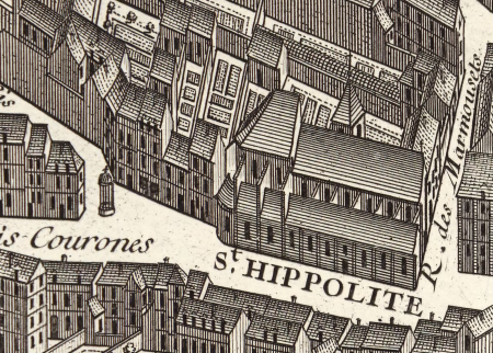
ancienne église saint-hippolyte de paris
churches on turgot map of paris
atlas des anciens plans de paris by imprimerie nationale, 1900 from the david rumsey historical map collection
maps of paris from the david rumsey historical map collection
atlas des anciens plans de paris by imprimerie nationale, 1900 from the david rumsey historical map collection
maps of paris from the david rumsey historical map collection
john rocque's 1746 map of london
history of london
1747 persia map by emanuel bowen
details of old maps
1780s maps of the world
german renaissance
david rumsey historical map collection
17th-century maps of iceland
the raising of the cross by rubens in onze-lieve-vrouwekathedraal (antwerp)
flemish baroque painting,baroque
the elevation of the magdalene or of st. mary of egypt by the master of messkirch (minneapolis institute of art)
danube school
earth
maps
africa
maps
australia
maps
turgot map of paris, bibliothèque nationale de france
maps of paris from bibliothèque nationale de france
turgot map of paris, bibliothèque nationale de france
maps of paris from bibliothèque nationale de france
turgot map of paris, bibliothèque nationale de france
maps of paris from bibliothèque nationale de france
turgot map of paris, bibliothèque nationale de france
maps of paris from bibliothèque nationale de france
turgot map of paris, bibliothèque nationale de france
maps of paris from bibliothèque nationale de france
turgot map of paris, bibliothèque nationale de france
maps of paris from bibliothèque nationale de france
turgot map of paris, bibliothèque nationale de france
maps of paris from bibliothèque nationale de france
turgot map of paris, bibliothèque nationale de france
maps of paris from bibliothèque nationale de france
turgot map of paris, bibliothèque nationale de france
maps of paris from bibliothèque nationale de france
turgot map of paris, bibliothèque nationale de france
maps of paris from bibliothèque nationale de france
turgot map of paris, bibliothèque nationale de france
maps of paris from bibliothèque nationale de france
turgot map of paris, bibliothèque nationale de france
maps of paris from bibliothèque nationale de france
turgot map of paris, bibliothèque nationale de france
maps of paris from bibliothèque nationale de france
turgot map of paris, bibliothèque nationale de france
maps of paris from bibliothèque nationale de france
turgot map of paris, bibliothèque nationale de france
maps of paris from bibliothèque nationale de france
turgot map of paris, bibliothèque nationale de france
maps of paris from bibliothèque nationale de france
turgot map of paris, bibliothèque nationale de france
maps of paris from bibliothèque nationale de france
turgot map of paris, bibliothèque nationale de france
maps of paris from bibliothèque nationale de france
turgot map of paris, bibliothèque nationale de france
maps of paris from bibliothèque nationale de france
turgot map of paris, bibliothèque nationale de france
maps of paris from bibliothèque nationale de france
fra mauro map
magni ducatus lithuaniae
1613 maps of europe
maps of paris from the david rumsey historical map collection
romanticism
maps of paris from the david rumsey historical map collection
romanticism
terra australis
padrón real
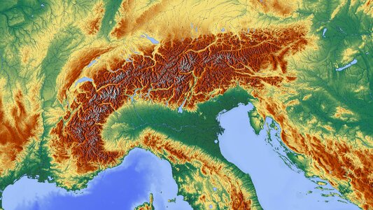
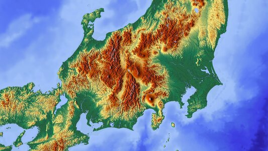
mountain
maps
1520s maps of the americas
1529 maps
john rocque's 1746 map of london
devonshire house piccadilly
map of ghent by pierre husson
moll's map collection
island of california
image restoration
maps of paris from bibliothèque nationale de france
proletarian literature
old maps of spitsbergen
old maps of the arctic
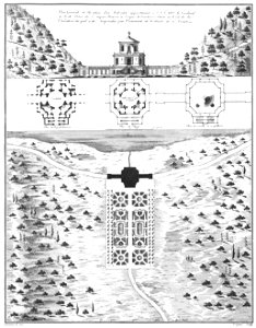
architectural elevations
maps of baroque gardens
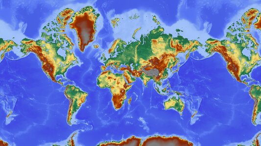
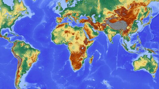
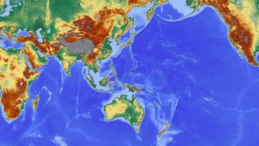
satellite pictures of the eastern hemisphere
fra mauro map derivative works
fra mauro map
1459
turgot map of paris, kyoto university library – derivative files
palais du louvre on old maps
eran laor cartographic collection
afbeeldinge der stad jerusalem
17th-century maps of catalonia
coats of arms of catalonia
propaganda map
historical maps of schmallenberg
atlas novus (blaeu)
maps of paris from the barry lawrence ruderman antique maps inc.
plan de turgot
maps of san francisco bay
admiralty map details
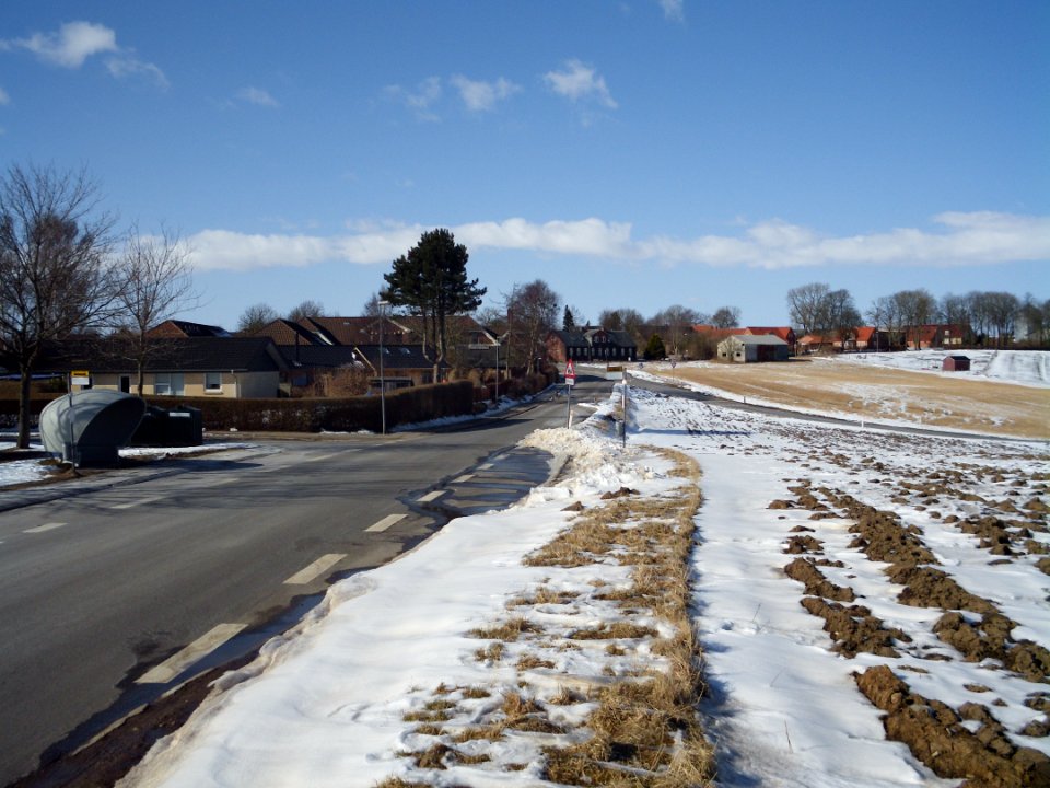
winter
snow
maps of paris from the david rumsey historical map collection
baroque
maps of paris from the david rumsey historical map collection
baroque
turgot map of paris, norman b. leventhal map center – derivative files
rue de braque on maps
maps of paris from the david rumsey historical map collection
atlas du canton de paris, 1795
maps of paris from the david rumsey historical map collection
atlas du canton de paris, 1795
maps of paris from the david rumsey historical map collection
atlas du canton de paris, 1795
maps of paris from the david rumsey historical map collection
atlas du canton de paris, 1795
maps of paris from the david rumsey historical map collection
atlas du canton de paris, 1795
maps of paris from the david rumsey historical map collection
atlas du canton de paris, 1795
maps of paris from the david rumsey historical map collection
atlas du canton de paris, 1795
maps of paris from the david rumsey historical map collection
atlas du canton de paris, 1795
maps of paris from the david rumsey historical map collection
atlas du canton de paris, 1795
maps of paris from the david rumsey historical map collection
atlas du canton de paris, 1795
maps of paris from the david rumsey historical map collection
atlas du canton de paris, 1795
atlas sive cosmographicae (gerardus mercator, 1596)
gerardus mercator
john rocque 1746 london map (a1-h3)
john rocque's map of london, 1746
maps of antwerp by braun & hogenberg
city map
mountain
maps
maps of paris from the david rumsey historical map collection
romanticism
atlas des anciens plans de paris by imprimerie nationale, 1900 from the david rumsey historical map collection
maps of paris from the david rumsey historical map collection
atlas des anciens plans de paris by imprimerie nationale, 1900 from the david rumsey historical map collection
maps of paris from the david rumsey historical map collection
map collection of leibniz-institut für länderkunde
dheulland map of paris
map collection of leibniz-institut für länderkunde
dheulland map of paris
map collection of leibniz-institut für länderkunde
dheulland map of paris
atlas du canton de paris, 1795
plan de roussel
satellite pictures of the eastern hemisphere
fra mauro map derivative works
turgot map of paris, david rumsey historical map collection – derivative files
église saint-sulpice on old maps
1401 - 1500 of 33,222
Next page
/ 333


![[Facsimile of part of Turgot's plan (Laune district) used as advertising for the Becker fils house]](https://cdn.creazilla.com/illustrations/10000809874/facsimile-of-part-of-turgot-s-plan-laune-district-used-as-advertising-for-the-becker-fils-house-md.jpg)